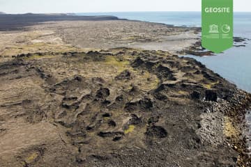
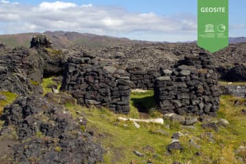
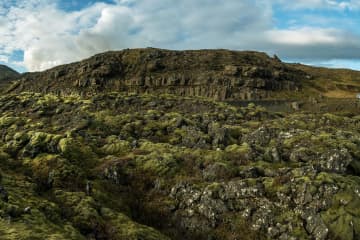
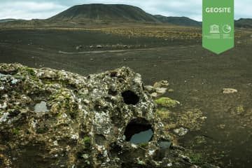
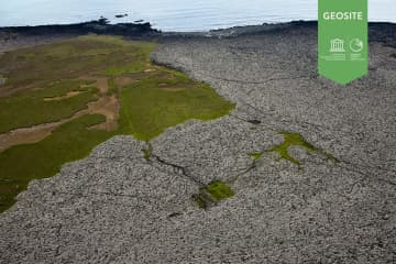
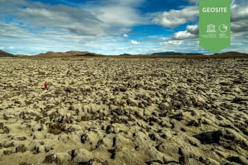
Skip to content

Or try searching by Category and/or Location

Katlahraun

Katlahraun

Katlahraun

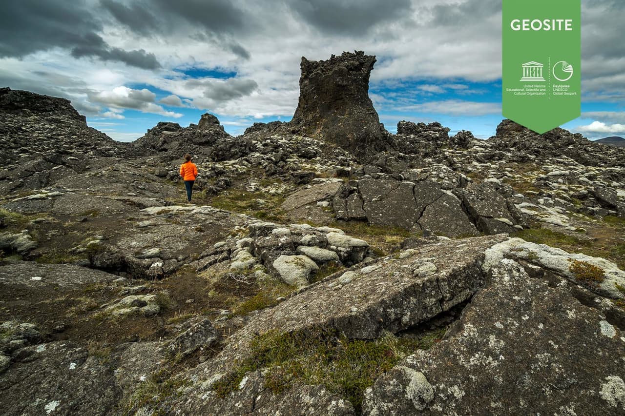
Katlahraun is lava that flowed about 2,000 years ago and entered the sea. Sudden damming at the shore caused a large, circular lava pond to form. Some
Selatangar

Selatangar

Selatangar was a big fishing outfit between Grindavik and Krysuvik. It was abolished after 1880. Extended ruins of the abodes and other houses are st
Méltunnuklif

Méltunnuklif

Lava pile between Grindavík and Krýsuvík. A good place to ,,read" the history of the peninsula.   Location: Short walk from road 427
Drykkjarsteinn

Drykkjarsteinn

A rock with three holes, shape like bowls.  Most wanted stop for travellers that had to go to either to Grindavik or Krýsuvík. It is located were the
Húshólmi

Húshólmi

Ruins of farm partly covered by lava flow. The Húshólmi area is a so called „clearing“ over which the lava Ögmundarhraun didn´t flow during an erupt
Ogmundarhraun

Ogmundarhraun

A lava flow formed in an eruption in the year 1151 AD. In that year a 25 km long fissure opened obliquely acorss the Reykjanes peninsula. The lava fi
Festarfjall

Festarfjall

A eroded subglacial volcano. A section of a small hyaloclastite hill is exposed in the costal cliffs. A dyke named Festi(ladder), evidently the feeder
Geldingadalir Valley

Geldingadalir Valley