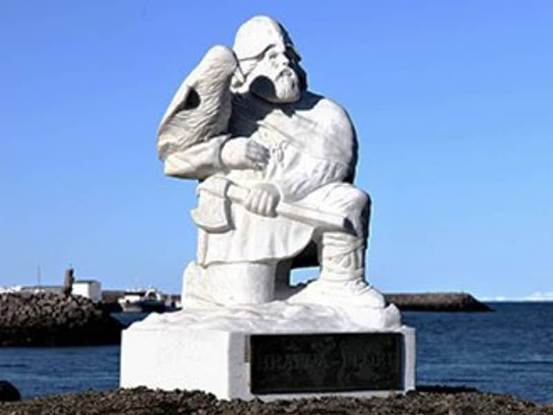
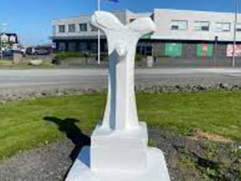
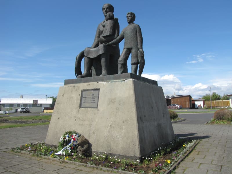
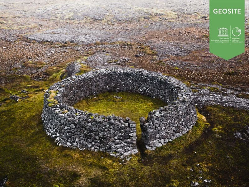
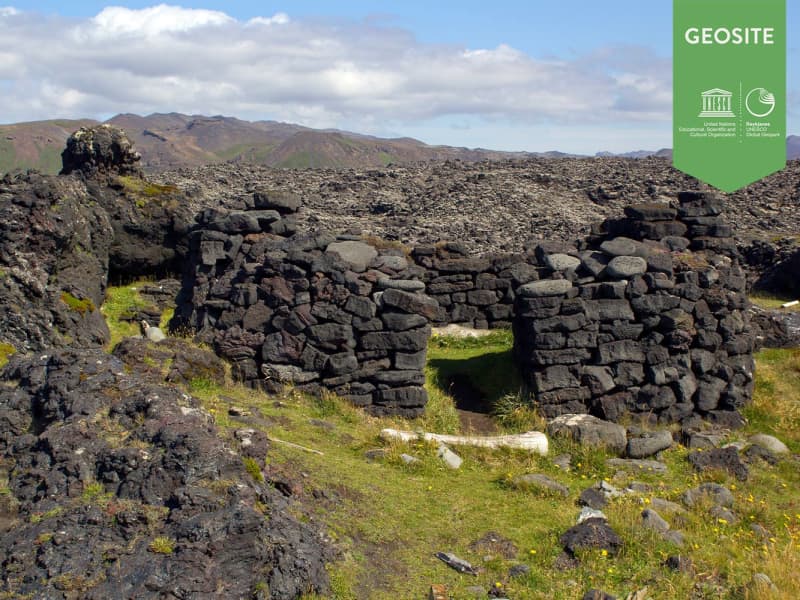
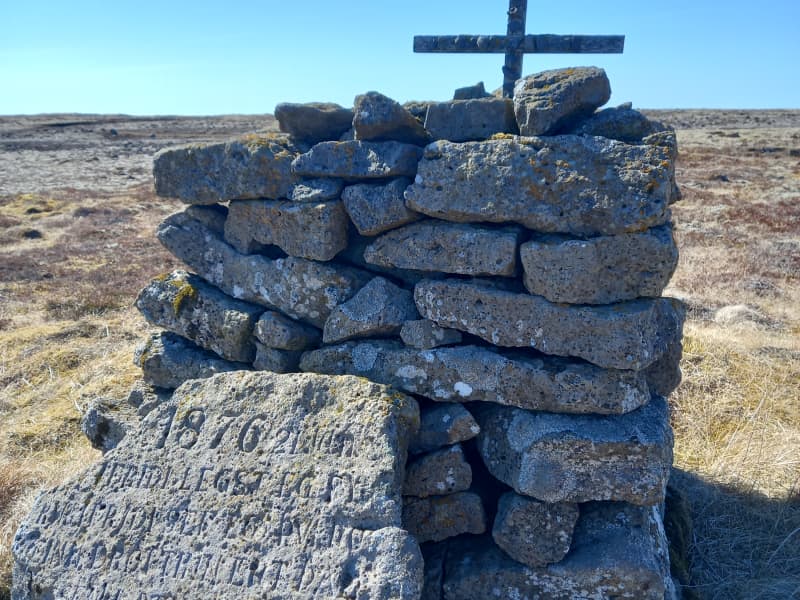
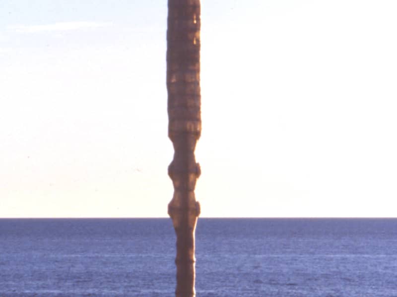
Prestvarða - The Priests Cairn
Prestvarða (The Priest’s Cairn) commemorates Reverend Sigurður Brynjólfsson Sívertsen (1808–1887), a respected priest, educator, and community leader on the Reykjanes Peninsula. After surviving a life-threatening storm near Leira in January 1876, he built this cairn and erected an inscribed stone bearing a verse from the Psalms as a thanksgiving for his deliverance.
The following text tells the story of Reverend Sigurður and the remarkable impact he had on local society.
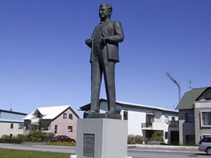
Rev. Sigurður Brynjólfsson Sívertsen
Rev. Sigurður Brynjólfsson Sívertsen was born at Sel near Reykjavík on 2nd of November 1808 and died on 24th of May 1887. His parents were Steinunn Helgadóttir and Rev. Brynjólfur Sigurðsson.
Rev. Sigurður Br. Sívertsen was married to Helga Helgadóttir. They had nine children, six of whom died in childhood. The three who reached adulthood were Helgi, born in 1836, Sigurður, born in 1843,and Ragnheiður Sigríður, born in 1853.
Sigurður was ordained as a priest on 18 September 1831, aged 23, and served as his father's curate in the parish of Útskálar until he was appointed Priest to the parish on 1 March 1837. Rev. Sigurður retired in June 1886, during his fifty-fifth year of service in the parish of Útskálar, which covered three congregations: Útskálar, Hvalsnes and Kirkjuvogur.
Keflavík belonged to the parish of Útskálar until 1953.
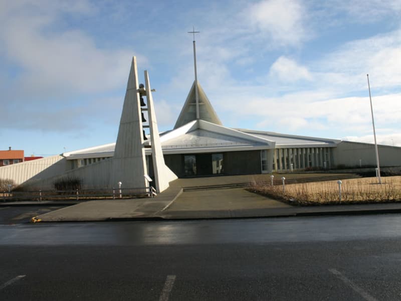
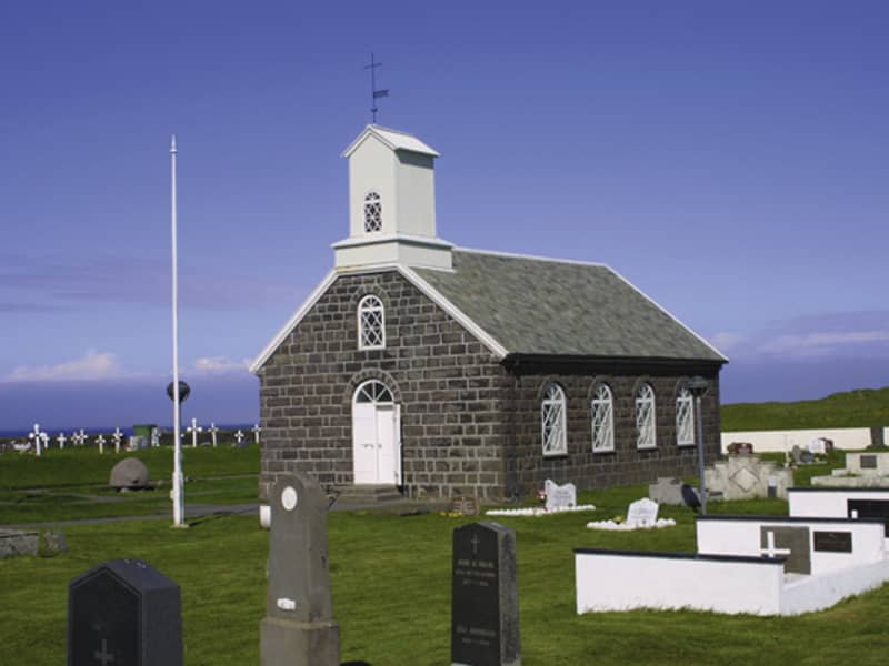
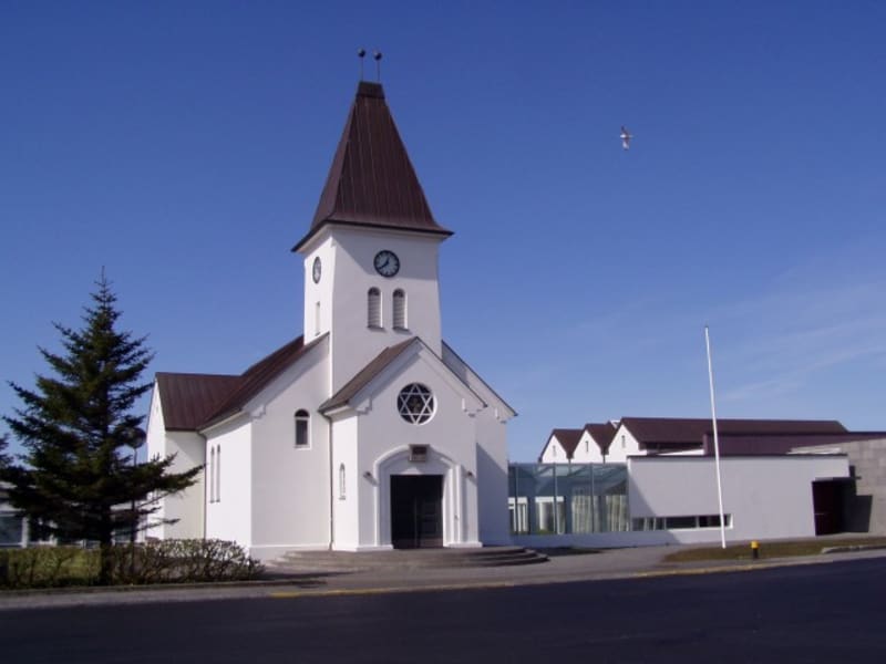
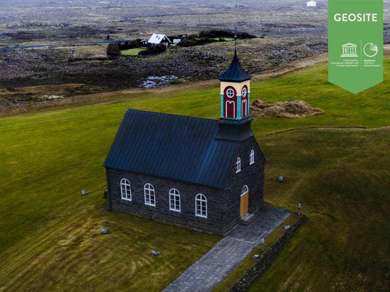
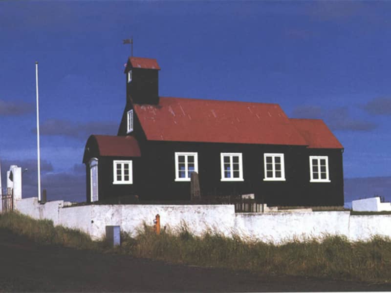
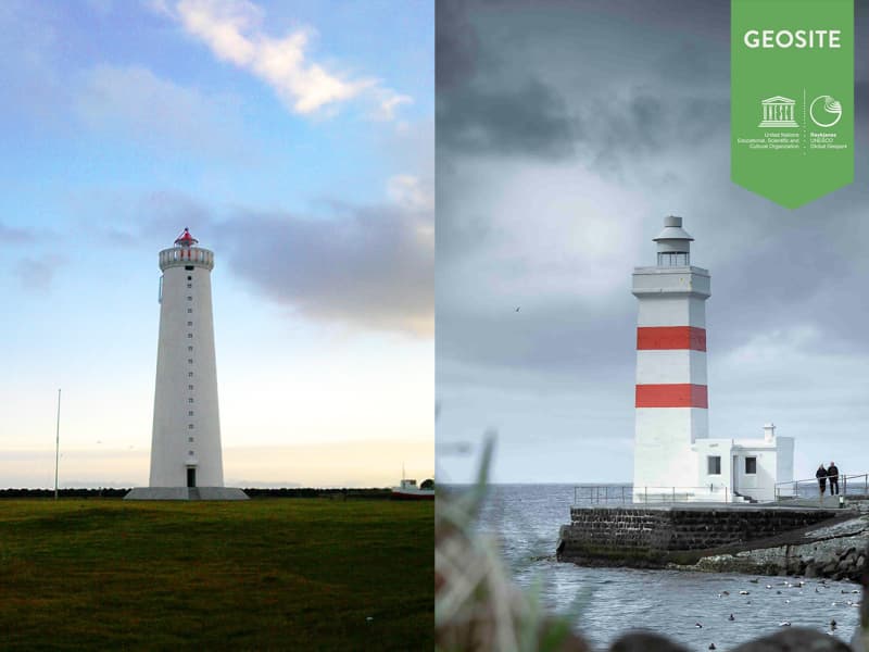
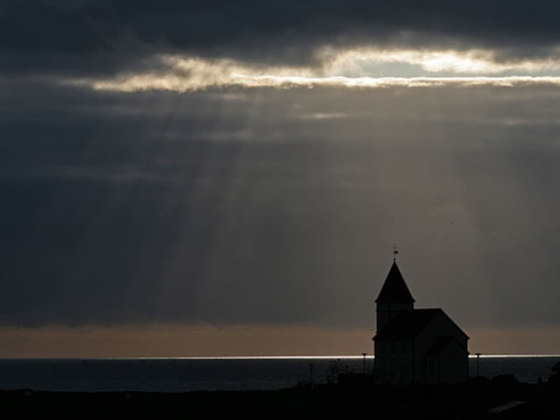
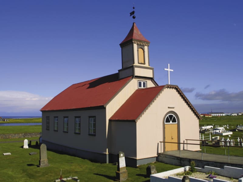
Útskálakirkja Church
Rev. Sigurður Brynjólfsson Sívertsen had Útskálakirkja Church rebuilt in 1861. He personally contributed 632 ISK towards the construction, but the total cost was 3,450 ISK.
He also donated many valuable items to the church, including a silver baptismal bowl, two large candlesticks and an altarpiece.
Several renovations have been carried out on the church over the years, the most recent of which was completed in 2008.
Gerðaskóli
Rev. Sigurður Br. Sívertsen was involved in founding Gerðaskóli, which was established on 7 October 1872, making it one of the oldest continuously operating primary schools in the country. He personally contributed 1,200 krónur towards the construction of the school building, which stood in Gerðar for several years. The current school building was brought into use in 1911 and has been extended several times. Rev. Sigurður was the headmaster of the school for its first fifteen years. When he left his post at the school, it was debt-free.
Rev. Sigurður wrote the Suðurnes Annals, which is a remarkable historical source about the way of life and events in the Suðurnes region in former times and during the Rev. Sigurður's lifetime.
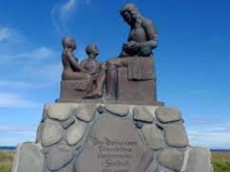
Sveitarstoð og styrkurStöðugt reyndist hannlandi’ og lýð til heillaLífsstarf fagurt vann.
(english)
A pillar of the community,Steadfast and true,For land and people’s welfare,A noble life’s work he did do.
The verse above, from the eulogy for Rev. Sigurður Br. Sívertsen is engraved on a memorial stone dedicated to him, which stands by Gerðaskóli school. Njáll Benediktsson donated the stone in memory of this distinguished man, who was instrumental in founding the primary school in Garður in 1872. The school was built in Gerðar and is named Gerðaskóli.
Gunnar M. Magnúss wrote in his book Undir Garðskagavita (Beneth the Garðskagi Lighthouse) in 1963:
“Thus begins the story of the man who must be considered one of the leading figures of the 19th century for our nation. That was Sigurður Brynjólfsson Sívertsen.”
Students of Gerðaskóli have commemorated this great benefactor of the school on various occasions.
In 2000, on the 1000th anniversary of the adoption of Christianity in Iceland, a theme week was held at Gerðaskóli where all students learned about Rev. Sigurður Br. Sívertsen and, among other things,published a pamphlet about him. Students and school staff walked together to Prestsvarða (Priests Cairn) in Leira.
Short plays were also performed at the community hall in Garður about the founding of Gerðaskóli in 1872 and the events of 1876, when Rev. Sigurður was caught in severe weather in Leira, as described below.
In Suðurnes Annal, Rev. Sigurður Br. Sívertsen gives the following account:
“On Sunday, 2 January 1876, there was a most ferocious storm from the south-west which lasted all night. Boats were blown away and wrecked. Another similar storm hit on the Saturday evening of 22January with torrential rain, following a south-westerly blizzard and frost.”
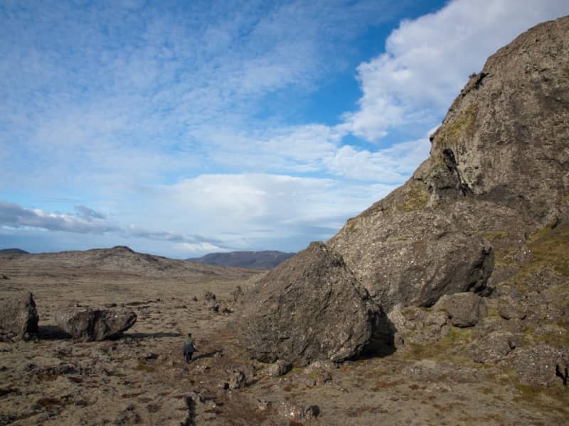
That evening, as I was returning from Keflavík, where I had baptised a child, I became separated from my travelling companion at Bergsendi. Since I could no longer make out the route, I strayed south of the track above Leira. I did not dare continue, fearing that I might become lost southwards in the heath. My horse had also run away from me.
I then lay down, intending to remain where I was. During the night, my parishioners, at my son’s urging, went out in search of me. The dreadful night passed without anyone finding me, until in the morning two men from my household came upon me. I was still conscious and had some strength left, although I was greatly weakened.
No one believed that I could have survived that night. It was plainly a wondrous work of Almighty God that I should live so long in such weather. Yet I felt well, and it seemed to me as though a shelter had been spread over me; surely I was under a protective covering and fatherly care. Praise be to God for this gift of life. This event in my life I do not wish to forget to mention, and to give God the glory.”
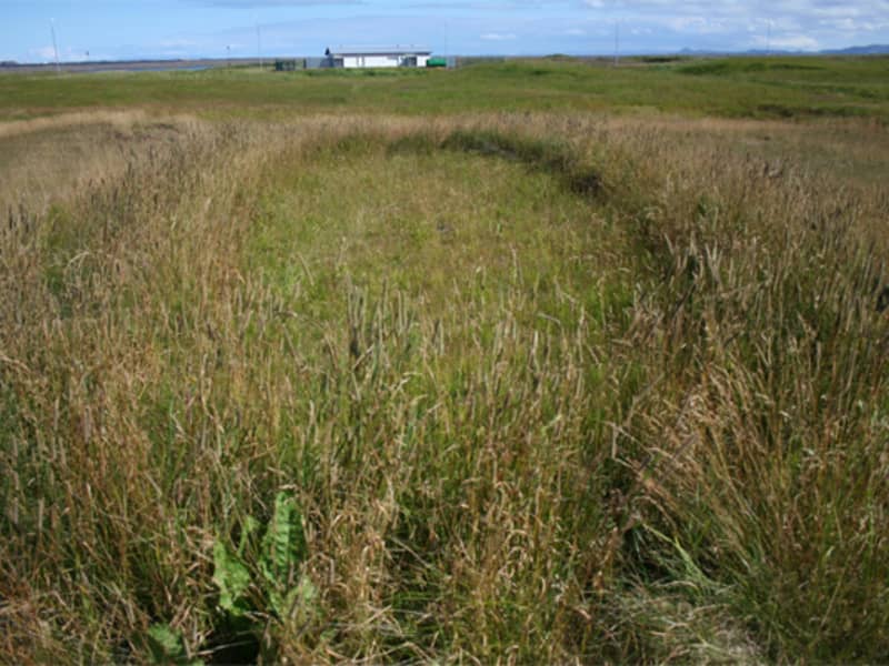
Shortly afterwards, Rev. Sigurður had a cairn built at this place and a verse carved into a large stone slab, which was set up beside the cairn. The inscription on the slab is from Psalm 4, verse 9, and is written as follows:
1876 21. Jan.
Í friði legst ég fyrirÍ friði sef ég því þúeinn drottinn ert þaðsem lætur mig búaóhultann
(English)
In peace I will lie downand in peace I will sleep,for you alone, Lord,make me dwell in safety.