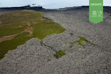
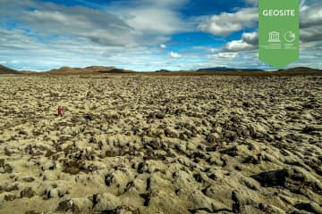
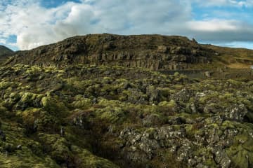
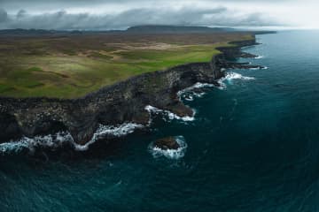
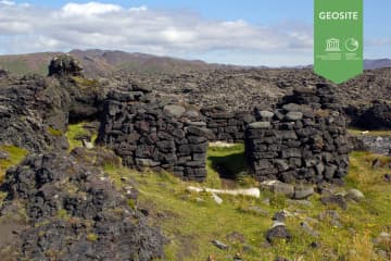
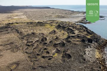
Húshólmi


Ruins of farm partly covered by lava flow.
The Húshólmi area is a so called „clearing“ over which the lava Ögmundarhraun didn´t flow during an eruption in the year 1151. The lava came flowing from vulcanic craters on the east side of Núpshlíðarháls hill down to the shore. According to archaeologists, in the western part of the „clearing“ are ruins of the ancient Krýsuvík farm, dated back since before the year 900. Among the ruins are presumably parts of a home, a church and a semetary.
Húshólmi is a popular outdoor area and a interesting site worth visiting.