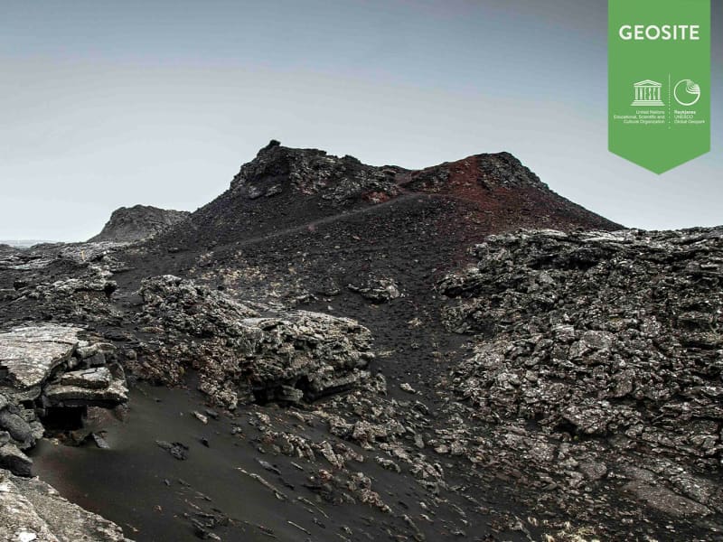
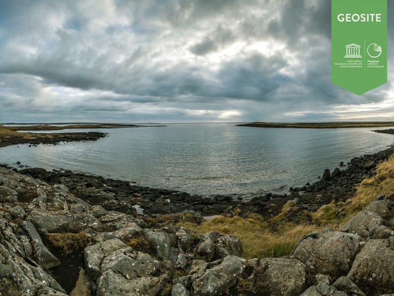
Stampar
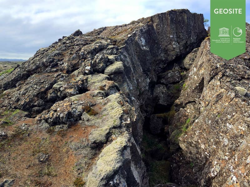
Two volcanic fissures lie from the sea onto land on the western side of Reykjanes and form a series of craters. These crater series have been named Stampar. The crater series are from two periods. This series lies in the SW-NE direction and follow thereby the most common fissure angle in Reykjanes.
The older formed in an eruption from a fissure that was just under 4 km long around 1,800 to 2,000 years ago.
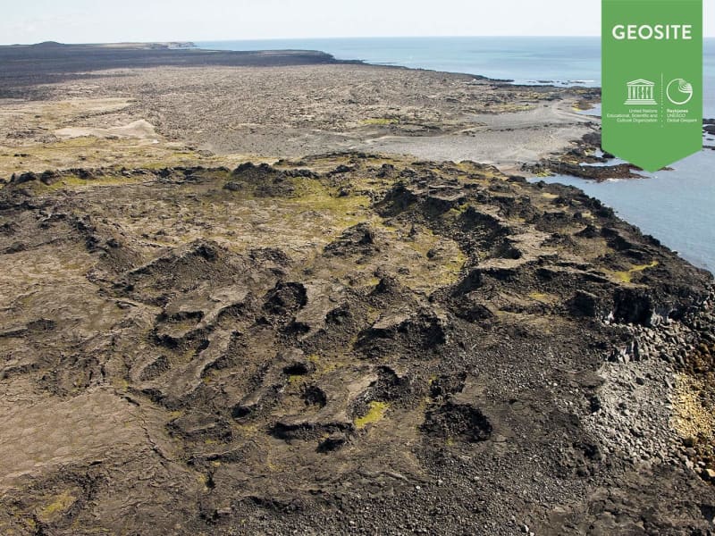
The younger Stampar crater series formed in the Reykjanes Fires in 1210–1240. The row of craters is around 4 km, and the area of the lava field they produced is approximately 4.6 km2. The two craters closest to the road, named Stampar, are at the north end of the crater row. Further south in the crater row are other sizeable craters such as Miðahóll hill, Eldborg the deeper and Eldborg the shallower. Fishermen in earlier times used all these craters as points of reference when out at sea. Most of the craters, however, are low-lying scoria cones and not very prominent.
It may be noted that during the Reykjanes Fires in 1210–1240, there were four lava flows in the Reykjanes and Svartsengi system, as well as submarine eruptions in the seas off Reykjanes.
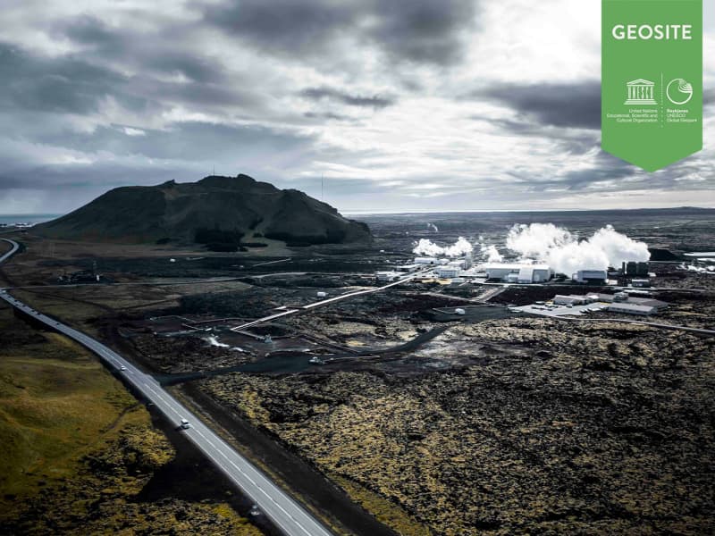
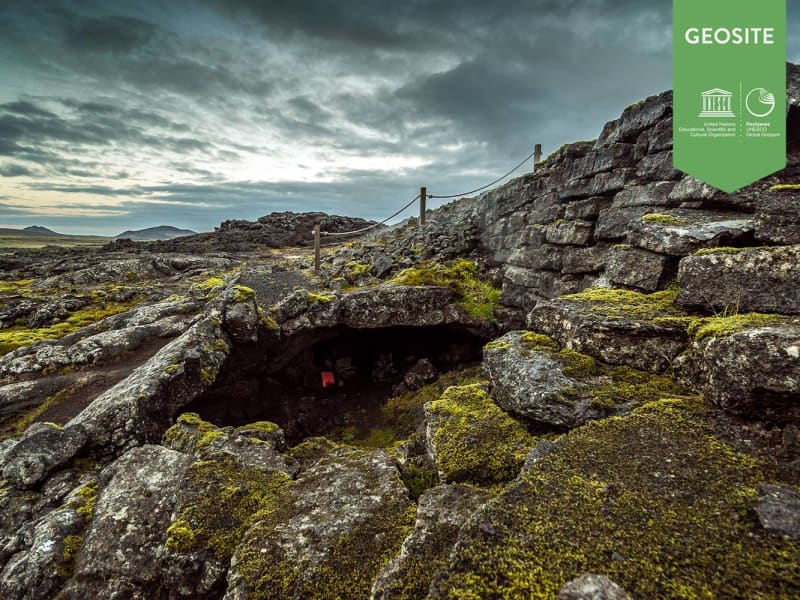
The Hundred Crater Trail, a signposted trail, lies partly through the Stampar lava field. The trail starts at Valahnúkur in Reykjanes. The trail also passes through the Reykjanes geothermal zone, past slag and scoria cones, the tuff mountain Sýrfell and on to the Stampar craters. From there, the path lies over rough pahoehoe lava and sand dunes, running from the west side of the crater closest to the road, along the row of craters, on to the seaward side of the Reykjanes Power Plant. The craters along the trail are numerous and fragile.
Walking up onto the crater nearest the road is permitted. It is important, however, to make sure that sensitive natural formations are not disturbed.
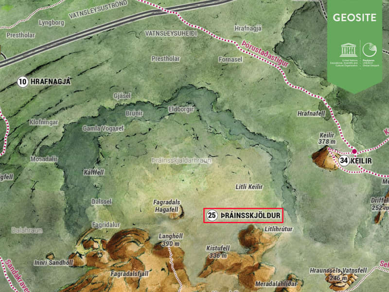
Location: Road 425 about 2,5 km north of Rauðhólar, short walk from there
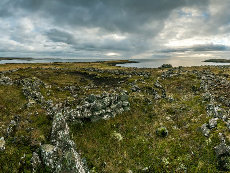
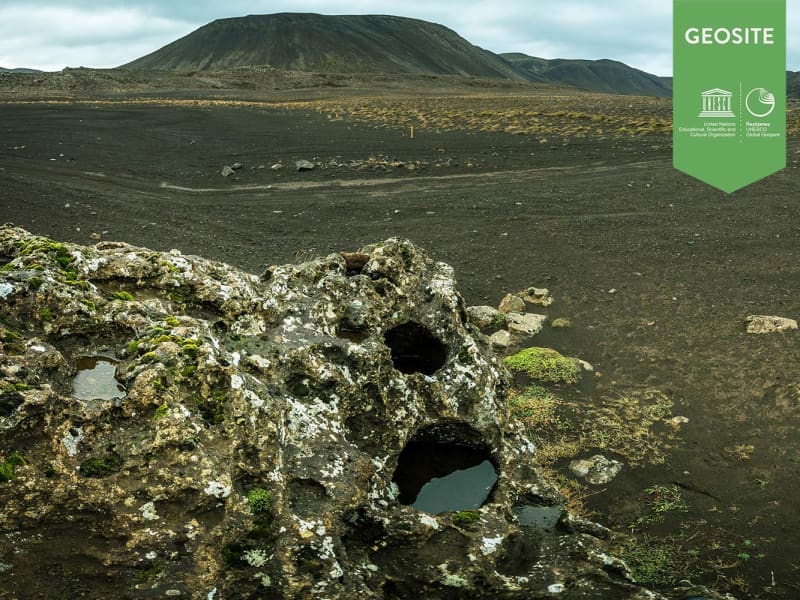
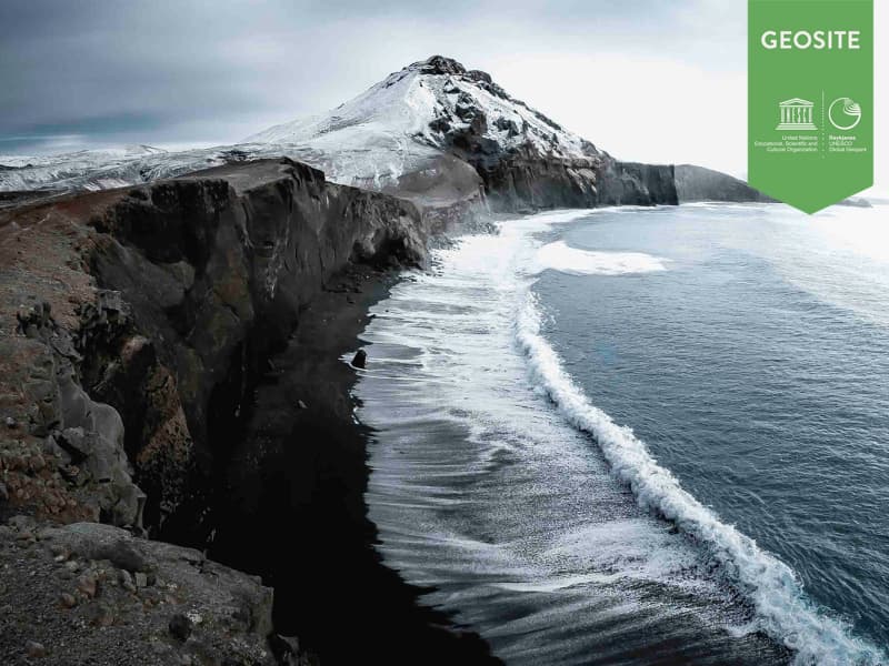
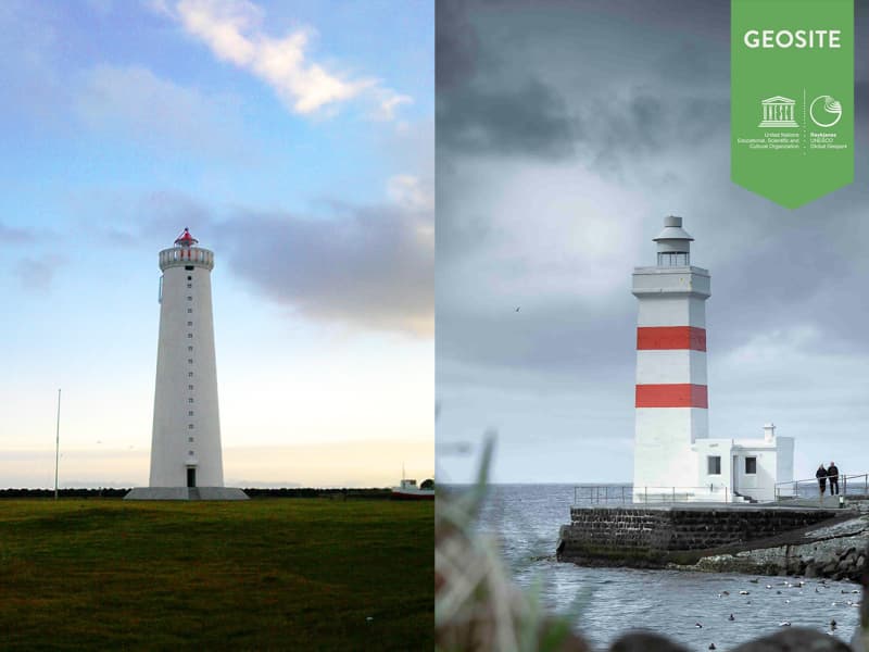
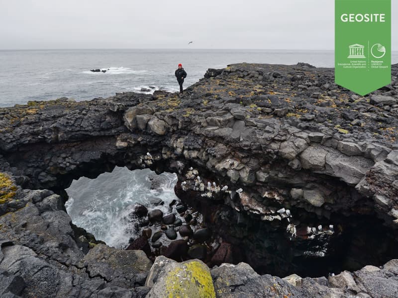
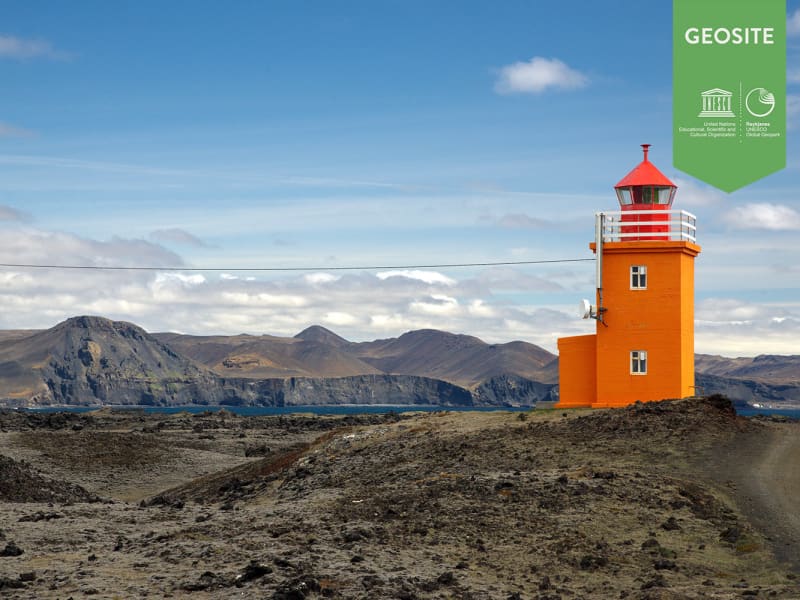
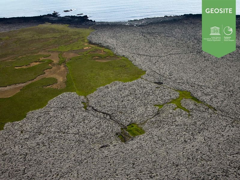
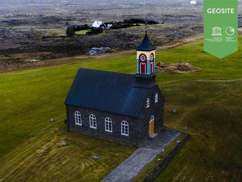
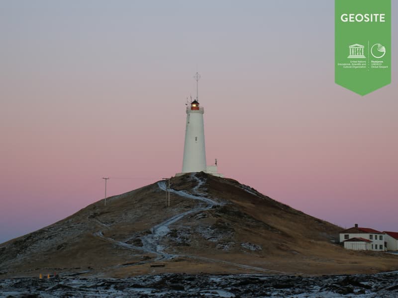
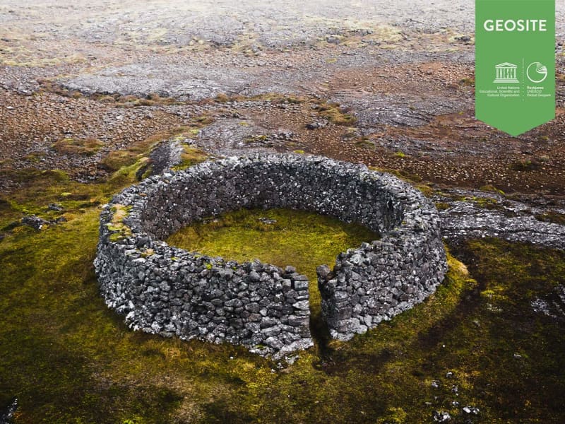
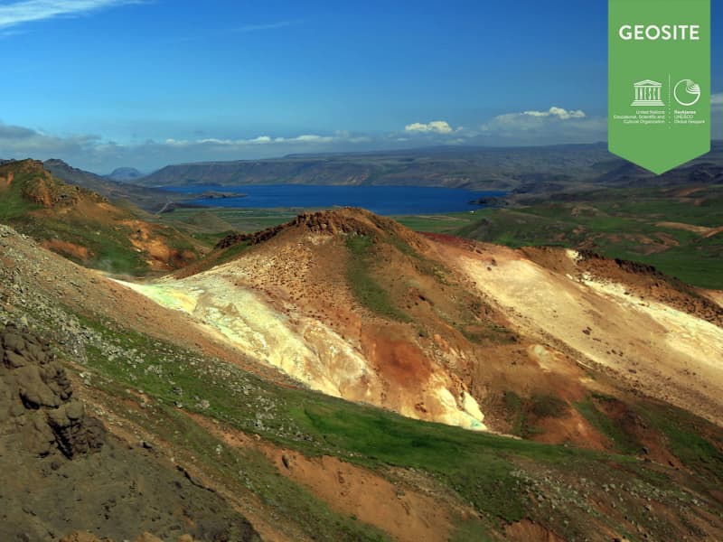
 The Reykjanes Geopark has 55 areas listed as geosites. A geosite is an interesting site because of the geological, geographical or cultural history of the region. It plays a significant role in the interpretation of the Reykjanes Geopark and what it stands for.
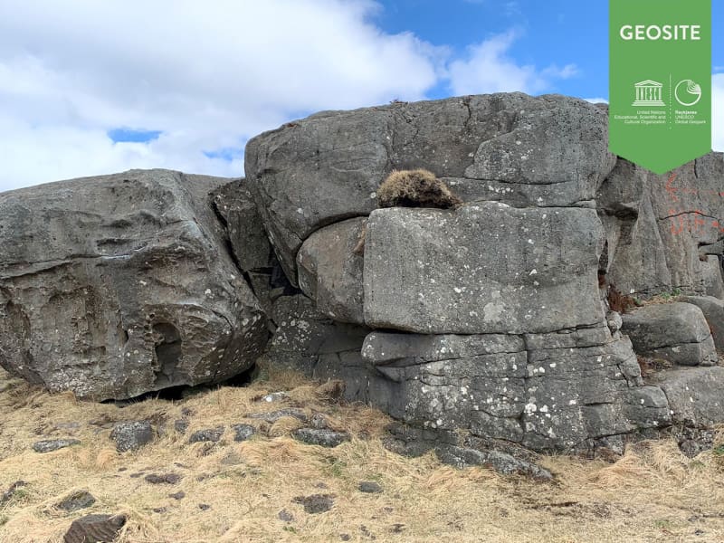
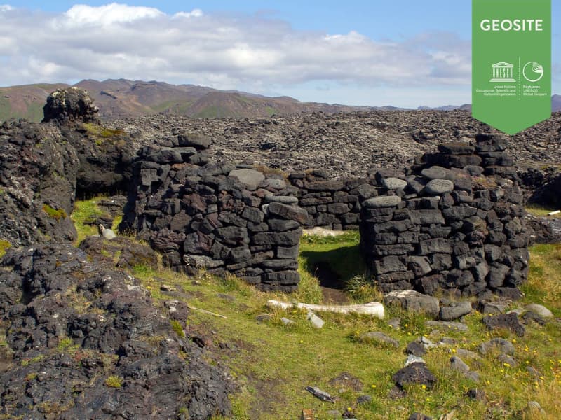