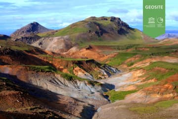
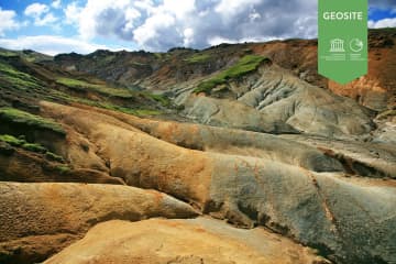
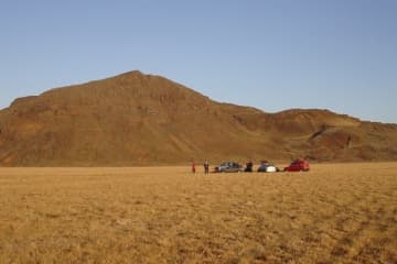
Grænadyngja and Trolladyngja

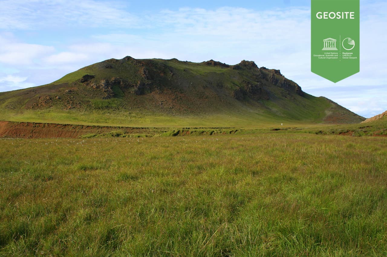
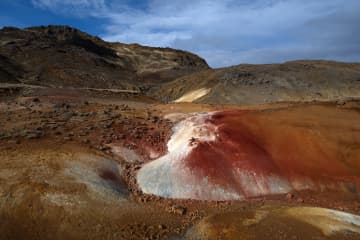
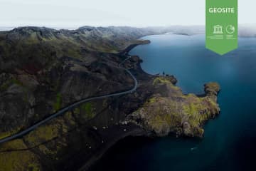
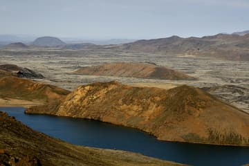
Grænadyngja and Trölladyngja are steep hyaloclastite mountains west of the Sogin geosite. They are surrounded by young volcanic fissures, geothermal sites and beautiful colours. The two mountains are associated with various lava flows, including Afstapahraun close to the Keflavík International Airport main road.
Four kilometers on road 41 east from Mt. Keilir.