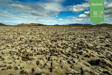
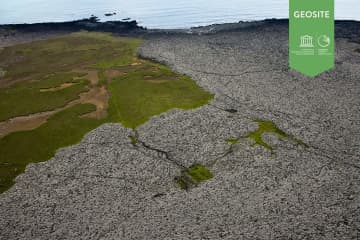
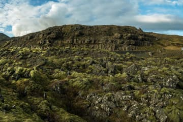
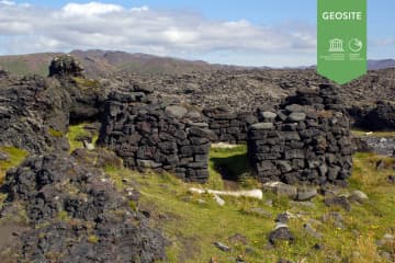
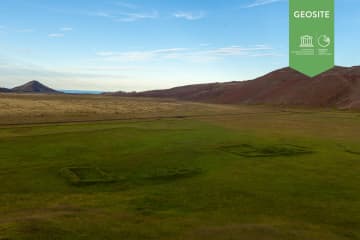
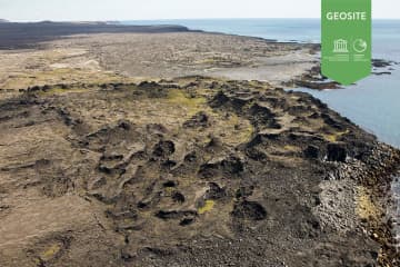
Skip to content

Or try searching by Category and/or Location

Ogmundarhraun

Ogmundarhraun

Ogmundarhraun

A lava flow formed in an eruption in the year 1151 AD. In that year a 25 km long fissure opened obliquely acorss the Reykjanes peninsula. The lava fi
Húshólmi

Húshólmi

Ruins of farm partly covered by lava flow. The Húshólmi area is a so called „clearing“ over which the lava Ögmundarhraun didn´t flow during an erupt
Krýsuvíkurberg

Krýsuvíkurberg

Sea cliffs with colorful birdlife. Accessible and very interesting 15 km wide and 40 m high sea cliffs which attract over 57 thousand seabird couples
Méltunnuklif

Méltunnuklif

Lava pile between Grindavík and Krýsuvík. A good place to ,,read" the history of the peninsula.   Location: Short walk from road 427
Selatangar

Selatangar

Selatangar was a big fishing outfit between Grindavik and Krysuvik. It was abolished after 1880. Extended ruins of the abodes and other houses are st
Vigdísarvellir

Vigdísarvellir

Ruins of the old farms Bali and Vigdísarvellir. Camping site sorrounded by beautiful scenery.  Location: Road 428 closed on winter time. 
Katlahraun

Katlahraun

Katlahraun is lava that flowed about 2,000 years ago and entered the sea. Sudden damming at the shore caused a large, circular lava pond to form. Some
Krýsuvík Church

Krýsuvík Church

Krýsuvík church was built in 1857 and is a typical Icelandic country church from the 19th century. The church was discontinued as a parish church in 1
Krýsuvík

Krýsuvík

Popular recreational destination with many interesing hiking paths.  Columns of steam rise skywards, bubbling mud pools play their rhythmical symphon