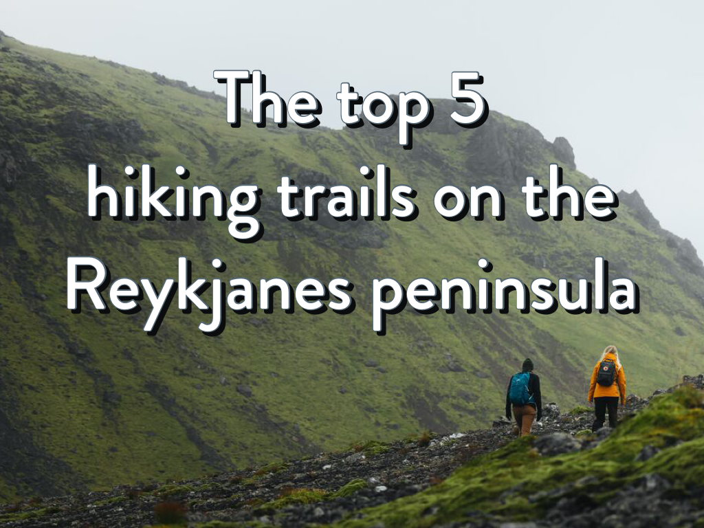
The top 5 hiking trails on the Reykjanes peninsula
If you’ve come to Iceland to indulge your passion for hiking, or simply want to stretch your legs somewhere scenic while you’re away, then you should definitely consider walking amid its spectacular landscapes, with endless lava fields and volcanic cones and craters to explore. There’s plenty of choice, but if you’re wondering where to start, check out our recommendations for the top five hiking trails on the Reykjanes peninsula.
Skógfellavegur
This hiking trail is a coast to coast walk which links Vogar to Grindavik. The route is about 11 miles long and you can expect to cover the distance in around 4 to 6 hours, depending on your pace and level of fitness. It would once have been one of the main routes north to south across the peninsula before route 43 was built for vehicular traffic. This well marked trail takes you across a varied natural landscape. Expect to see ravines and craters, lava, vegetation, scrub and moss as you traverse the relatively smooth surface of a caldera lava field, passing Litla-Skógfell and the taller hill Stóra-Skógfell along the way.
Keilir
Keilir is a small cone-shaped hill which you might notice as you drive along route 41 between Keflavik and Reykjavik. At the junction with the 420, pull off the road and head down to the car park. From there you can pick up a gravelly trail which leads you up to the summit of this 378 metre high volcanic plug in two to three hours. The abundant birdlife is a real treat – you might see ptarmigan, wheatear or snipe. It’s not especially challenging to anyone in decent hiking boots, except for some loose stones. Pick a clear day and from the top you’ll be rewarded with a view out over the moss-covered lava field which is especially lovely at sunset.
Fagradalsfjall volcano
The hike to the volcano which erupted spectacularly throughout 2021 is still worth doing, even though the lava flows have ceased. Two main routes skirt either side of the eruption zone, opening up a view of cooled, blackened lava cones stained yellow with sulphur deposits. The scale of the place is a reminder of nature’s awesome power and, as well, how Iceland is still being shaped and altered by tectonic processes. The hike’s a fairly challenging one, over uneven terrain with steep sections that are characterised by loose scree underfoot. Just because it’s popular, don’t underestimate it if you’re not a seasoned hiker.
Hafnir to Hafnaberg
This easy hike leads from the fishing village of Hafnir to the low-lying cliffs at nearby Hafnaberg. As you hike, keep an eye out for a plethora of seabirds including razorbills, fulmars, guillemots, and kittiwakes. You might also catch a glimpse of whales, seals and dolphins swimming close to the shore. Take care, especially on a blustery day, as the cliffs are unstable – you won’t want to stray too close to the edge. If you’ve an appetite for more, continue south to the Stampar lava field and follow the Hundred Crater Trail over pāhoehoe lava and sandy dunes. Alternatively, turn inland to walk to Leif the Lucky’s bridge – the bridge which spans the gap between the Eurasian and North American plates.
The far south west
Hike the south western tip of the Reykjanes peninsula and you’ll be surprised at the variation in landforms across a relatively short distance. Begin at Gunnuhver, a geothermal area of mud pools, fumaroles and hot springs named after the ghost that’s said to haunt them. From there, head in the direction of Reykjanes Lighthouse, which is the oldest lighthouse currently operating in Iceland, dating from 1908. Follow a trail down to the shoreline where the Mid-Atlantic Ridge meets the mainland. Littered with boulders and sea stacks sculpted from lava, it’s a beautiful place to stop and watch the waves.
If you’re keen to get stuck in, take a closer look at this map of the area’s hiking trails, lace up your boots and get out into the beautiful Reykjanes countryside.