Blogg

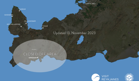
Sites open in Reykjanes
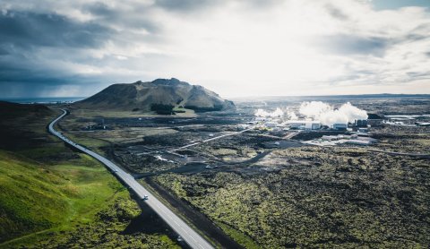
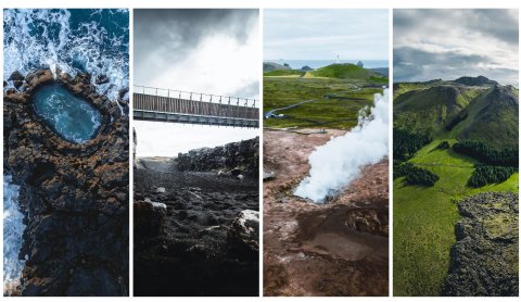
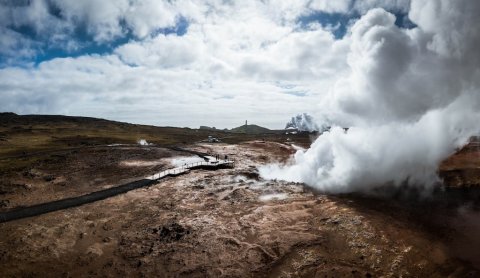
All roads leading towards Grindavik are still closed. However, most of the natural highlights are open to visitors.

Drone ban near Grindavík
The Icelandic Transport Authorities have issued a ban using drones over Grindavik
The town of Grindavik evacuated due to increased earthquakes
An Emergency/Distress Phase has been activated due to the increased seismic activity on the southern part of the Reykjanes peninsula

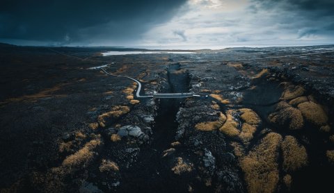
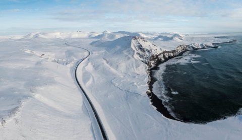
Road no. 43 Grindavíkurvegur has been closed
The road will be closed until damages have been prepared or until further notice