Sites open in Reykjanes
Updated December 29.
All roads leading towards Grindavik are still closed. However, most of the natural highlights are open to visitors.
The seismic activity in the peninsula has been developing. Scientists at the Icelandic MET office are monitoring the seismic activity 24/7 and giving us update evey day on the development. The events only apply to parts of the peninsula in and around the town of Grindavik that is still evacuated due to the increased seismic activity.
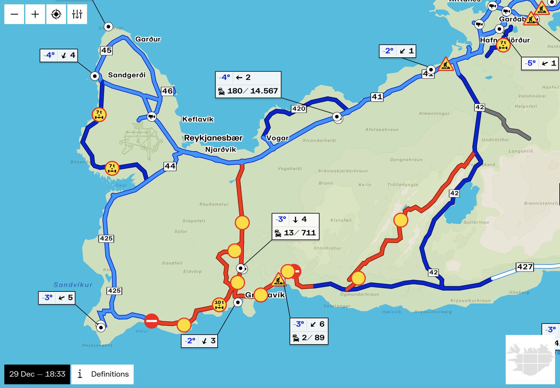
Roads leading into the town are closed to traffic. That means that the closure is for road no. 43, and partly roads no. 425 and 427. A map of the road closures can be found on road.is as seen in the image below.
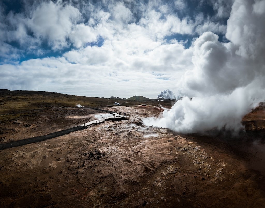
Reykjanes lighthouse, the geothermal area Gunnuhver and the Bridge between continents and Brimketill are now open for visitors.
The closures are locations are as follows and affect the following sites towards Grindavik:
- by the crossroads at Brimketill at road 425. The site itself is accessible.
- by the main highway Reykjanesbraut in the north. The sites that are not accessible are Mt. Þorbjörn, and Eldvörp
- by the crossroads towards the old eruption sites in Mt. Fagradalsfjall, by Parking 2. The hiking trails around the old eruption sites are open, see here.
All sites on the northern part of the Reykjanes peninsula are open and east of the old eruption sites in Mt. Fagradalsfjall.
For further information on seismic activity, local authorities and safety measures visit the following websites:
- Visit Iceland: Information for international travellers
- The Icelandic MET office: Information on the seismic activity in the Reykjanes region and development of events
- The Icelandic Road Administration: Information on road conditions and closures in the Reykjanes region
- The Department of Civil Protection and Emergency Management: Information site for residents on how to prepare during these events
- Safetravel: Updates on safety
- The local Police authorities: Updates from the Reykjanes local authorities