Hikingtrails closed
All hiking trails are closed at the moment. Another meeting is scheduled at 1 Pm today with local Authorities and First responders. In that meeting, the status will be reconsidered.
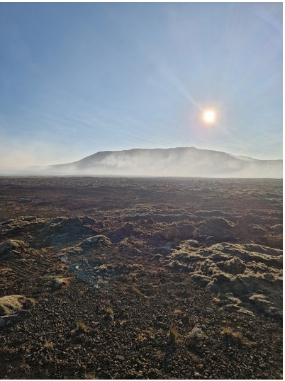
Smoke from the wildfires is over the hiking trails towards the eruption site. Visitors' safety can not be ensured under these circumstances.
At the moment the fire department, with the help of the Coastguard helicopter is working on the wildfires in the area of the viewing site at Mt. Hraunsels-Vatnsfell.
Despite the area being closed, first responders were searching for people near the eruption site last night.
The MET office forecast for gas distribution for today:
North and Northwest 5-8m/s. Increased wind tomorrow afternoon. The wind goes down late tomorrow night. Gas pollution to the south can be found on Road 427 and on the hiking trails towards the eruption site. Forecast from 17.07.2023 at 08:02. Valid until: 18.07.2023 at 23:59.
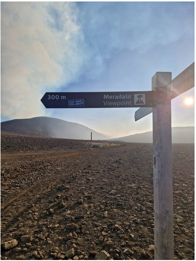
Picture taken from hiking trail D (Merardalir) at 6:30 this morning. The gas and smoke from the eruption site hovered the hiking trails.
Authorities are hoping to get control of the wildfires soon and then be able to open the hiking trails.