Road no. 248 open - Vigdísavallavegur
The Authorities have opened the road to Vigdísavellir again
20.07.2023
The Reykjanes police commissioner and the Cilvil protection and management authorities closed road 428 to Vigdisavellir on the 10th of July due to the eruption in Mt. Litli Hrútur. It was done to ensure the safety of all travellers in the area while the event was being estimated.
Today the road has been opened again. By doing that more destinations in the highlands of the Reykjanes peninsula are open for visitors, for example, the mountain area of Sogin, Mt. Grænadyngja, Djúpavatn Lake and more.
Please note:
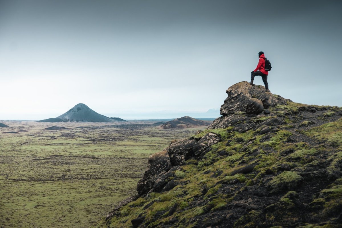
- From the mountain ridge, for example, Mt. Selsvallafjall there is a view over to the eruption site at Mt. Litli-Hrútur (in the distance). There are no hiking trails from there to the eruption site. Here is a map, showing hiking trails in the area. Vigdísavellir is marked no. 53.
- There are no marked trails (with poles) in the area so hikers need to be well-equipped for the hike in the mountain ridge.
- The elevation of the mountain ridge is about 3-400 meters.
- The road no. 428 is a mountain road and is only available for jeeps or 4x4 vehicles.
- The mobile reception is poor in the highlands.
- Driving off-road is not allowed.