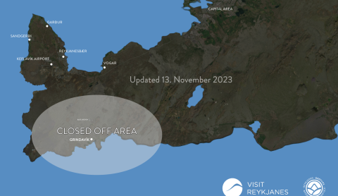
All roads leading towards Grindavik are still closed. However, most of the natural highlights are open to visitors.
Today's update from Reykjanes peninsula
Drone ban near Grindavík
The Icelandic Transport Authorities have issued a ban using drones over Grindavik
The town of Grindavik evacuated due to increased earthquakes
An Emergency/Distress Phase has been activated due to the increased seismic activity on the southern part of the Reykjanes peninsula
Road no. 43 Grindavíkurvegur has been closed
The road will be closed until damages have been prepared or until further notice
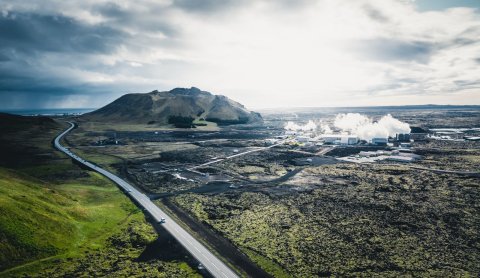
Earthquakes temporarily halt operation of tourism companies in the Svartsengi area
Due to the increased seismic activities and strong earthquake swarms affecting the Svartsengi area, tourism operators have ceased operation until 16th of November.
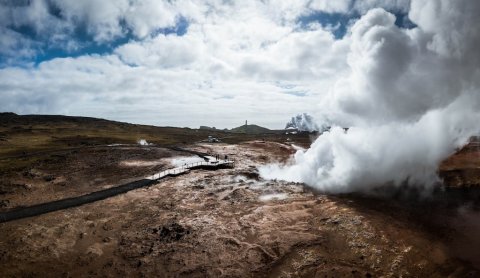
Seismic activity in the Reykjanes region
An increased earthquake activity has been measured on the Reykjanes peninsula similar to the present events before the eruption in Mt. Fagradalsfjall last year and this summer. Due to that visitors are asked to take care when hiking and driving in the region, especially in mountain areas and near slopes.
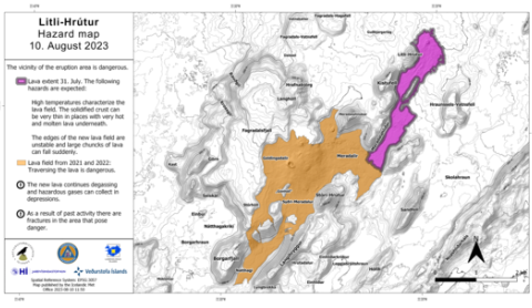
New hazard map for the eruption site
The Icelandic MET office has published a new and updated hazard map
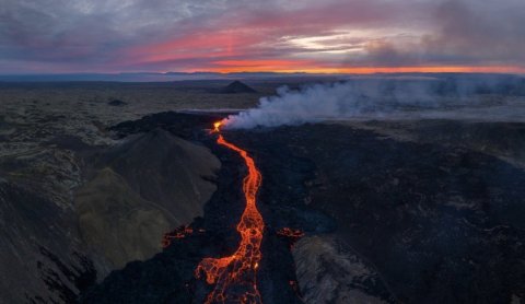
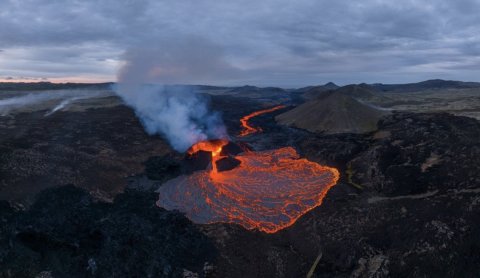
The eruption is over for now
The authorities have officially declared this eruption over
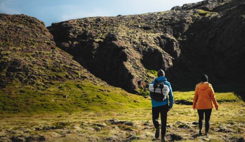
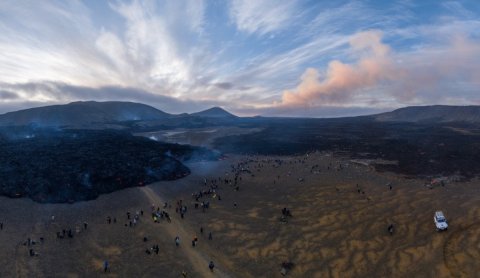
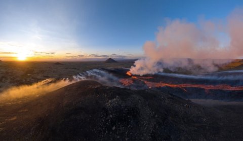
All hiking trails open today
All hiking trails open today
All trails will close at 6 pm
Hiking trails open today
The hiking to the eruption site is long and on gravel grounds. Dress well, pack food and drinks and enjoy the scenery.